")
")
")
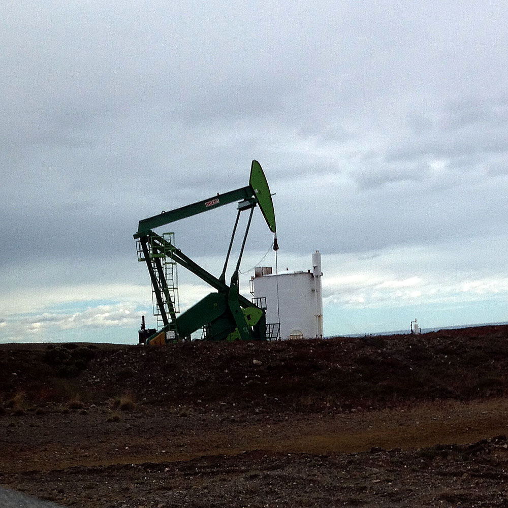
Oil and gas


Oil and gas
Reflection Seismic
Reflection Seismic
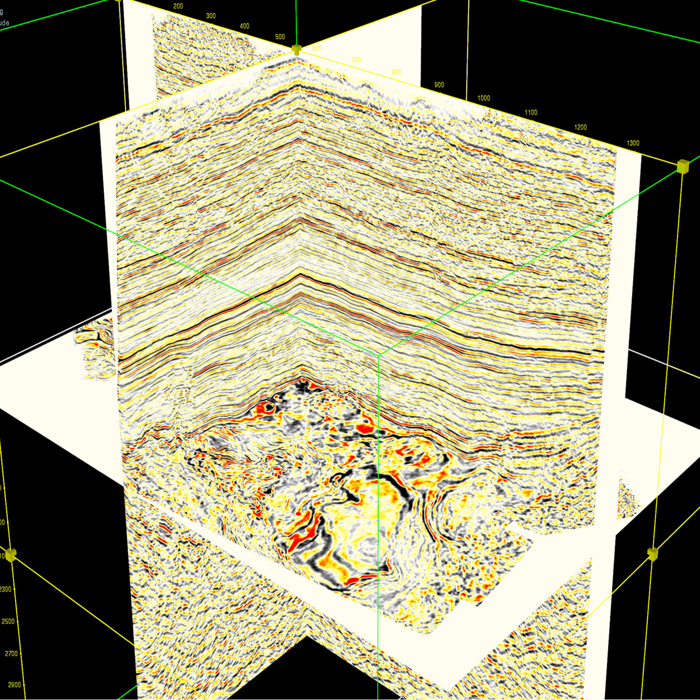
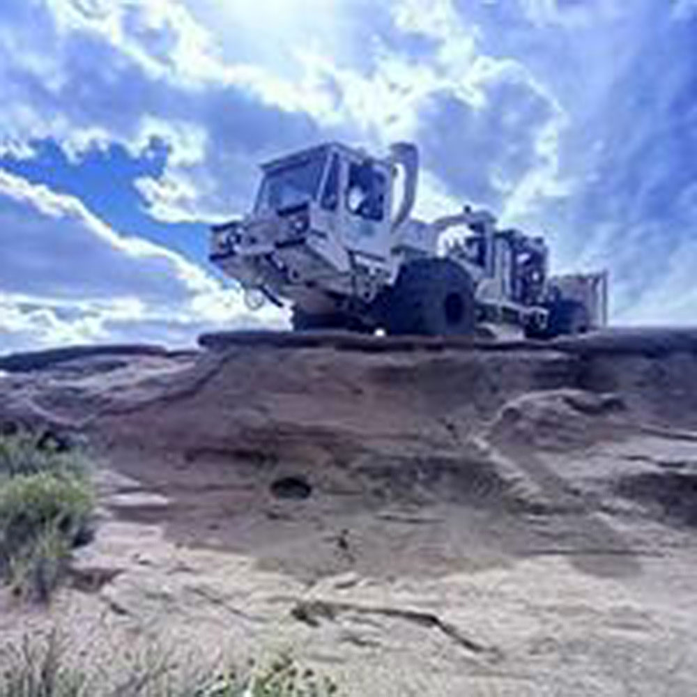
The reflection seismic acquisition consists of generating seismic waves on surface and registering the amplitude variations for the waves train reflected from subsoil. These wave amplitude variations are caused for impedance (density x velocity) changes between different subsoil layers. The seismic wave travels between 2 medias with different impedances and part of its energy is reflected at the interphase while another part is refracted through the interphase. Reflection seismic consists in measuring the waves travel time from the seismic source to surface geophones, being reflected at the interphase. Knowing times and seismic waves speed allow to calculate the wave trajectory to obtain images of geometry and location of interphases (subsoil lithologies contacts).
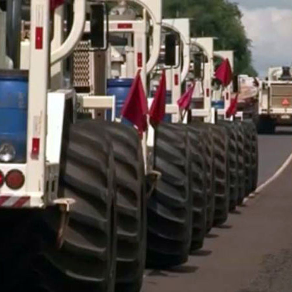
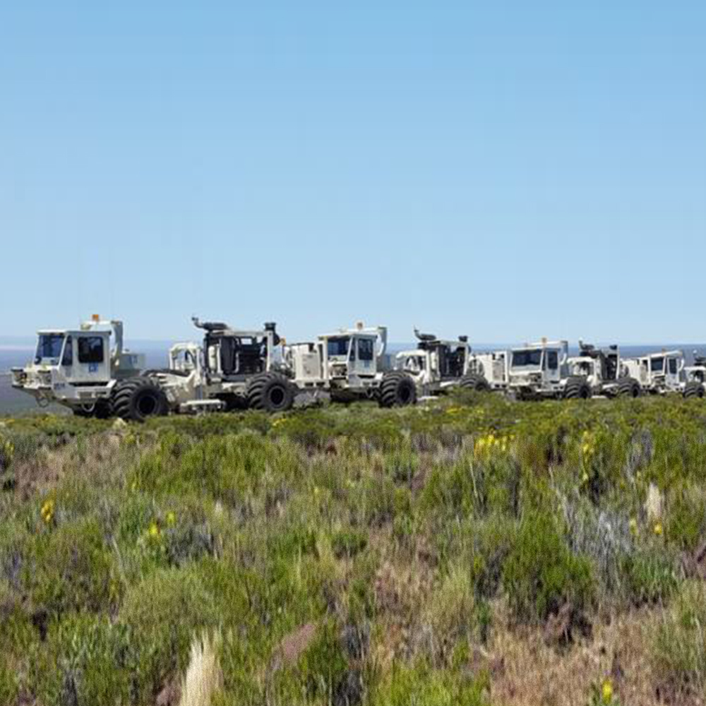
Seismic waves can be generated using mechanical punchers and/or explosive (located source) or Vibroseis (controlled source). The amplitude variations are measured using several geophones (2D profiles or 3D mesh) and registered by a centralized acquisition system (seismograph) or by decentralized nodes.
Microseimic Acquisicion and processing
Microseimic Acquisicion and processing
Monitoring of induced microseismic events is key to hydraulic fractures evaluation and optimization. Its main objective is to characterize the induced fractures structure and the density distribution for a specific formation.
The microseismic activity is measured using geophones located to map a sector related to the studied induced fracture, leading to its geometry estimation.
Reflection seismic processing 2D/3D
Reflection seismic processing 2D/3D
Data processing consists in transforming seismic data to interpretable information. Wellfield processing center in Buenos Aires offers time based (PSTM) and depth based (PSDM) data processing for terrestrial and marine seismic surveys. The professional staff counts with experience all over South America.
Well logging
Multifingers Caliper
Multifingers Caliper
This tool is ideal to provide high resolution details on well casing conditions at depth. Several fingers allow detecting small anomalies, easing the finding of deformations, incrustations or casing metal thinning caused by corrosion. The tool counts on 20 to 80 fingers, depending on well casing diameter.
CBL, VDL and CCL
CBL, VDL and CCL
Cement Bond Log (CBL), Variable-Density Log (VDL) and Casing Collar Locator (CCL) services offer a complete evaluation of well wall and casing to reduce the uncertainty about hydraulic isolation quality in the production zone, making possible more efficient well refining operations at a minimum cost.
Gravity
Gravity
The gravity geophysical method detects the gravity field variations on the earth surface related with the subsoil density distribution. From these results is possible to locate formations, reservoirs, basement and other structures with density contrast.
High Pressure (P) and Temperature (T) well logs
High pressure P and temperature T well logs
Wireline logs in geothermal high P and T wells with memory tools.
Neutron porosity
Neutron porosity
Porosity well log based on slowing down and capture of neutrons by the hydrogen contained in the subsoil formations. This technique allows registering the correct porosity for specific formations, (limestone, sandstone, dolomite), assuming that formation pores are fluid-filled and in units related to formation type (vol/vol or u.p.). The measurement is statistical and based on thermal neutron detection, so precisions is higher for high counting speed, i.e. low porosity.
Free Point / pipes rescue
Free Point / pipes rescue
The rescue of a pipe or a flexible pipe string stuck deep in a well but free to move, is based on cutting it and locating its free point in such a way to eliminate the problem down below the cut.
Gamma Ray
Gamma Ray
Gamma Ray log is used to discriminate different lithologies through their specific natural radioactivity, and for Uranium exploration. Gamma ray count increments can be related to lithological changes, alterations and radioactive mineralizations.
16 / 64 Resistivity
16 / 64 Resistivity
The Formation Resistivity well log is measured through 2 current (A and B) and 2 potential (M and N) electrodes. A and M are located on the probe, B is on the cable armature and N on the surface.
Slickline
Slickline
Wellfield uses Slickline units for services in production wells, such as memory profiling, well depth determination, well diameters calibration, pipes integrity, locating and /or recovering of production accessories (foot valves, BN, gas mandrels, blind stoppers, packers, etc.), deep and bottom sampling.
Sonic (FWS)
Sonic (FWS)
The technique for a sonic or acoustic velocity well profile uses acoustic transducers to transmit ultrasonic waves through the well fluid into the surrounding rock. This technique allows to determine in-situ compressional and shear waves to calculate the rock mechanical properties. Also, these registries can detect fractured zones and estimate permeability.
High resolution acoustic Televiewer
High resolution acoustic Televiewer
Wellfield Services introduced the Borehole Televiewer technique in Chile in 1996, developing a wide experience in its application.
The high resolution acoustic Televiewer provides well wall pseudo-images to investigate the subsoil structure features through computer assisted images reconnaissance. It consists of a transductor operating at high frequency in pulse-eco mode. The important amount of obtained information, combined with a classification scheme for structural features and with the lithological, geological, chronology and tectonic information, all together, are ideal for structural statistical analysis. The technique is applicable to large scale structure, up to various meters size, as well as to microstructures.
Vertical seismic profile (VSP)
Vertical seismic profile (VSP)
This borehole seismic register is realized on correlation with surface seismic data to obtain higher resolution images to support interpretation. The measurements are obtained placing geophones along vertical wells and the seismic source on the nearby surface. In addition to wells and seismic data correlation, the VSP allows conversion of seismic data to cero phase data and discrimination of primary reflection from multiple reflections.